A €1200 iPhone outperforms a €4000 chart-plotter, until noon
The display on an iPhone 15 Pro hits 2000 nits sustained, 2500 peak. The Garmin GPSMAP 943xsv hits 1200 nits. On screen quality alone, the phone wins by a factor of 1.6.
It also runs Navionics, Aqua Map, iSailor and Predict Wind with full offline charts. You already have it. You already paid for it. It already knows where you are.
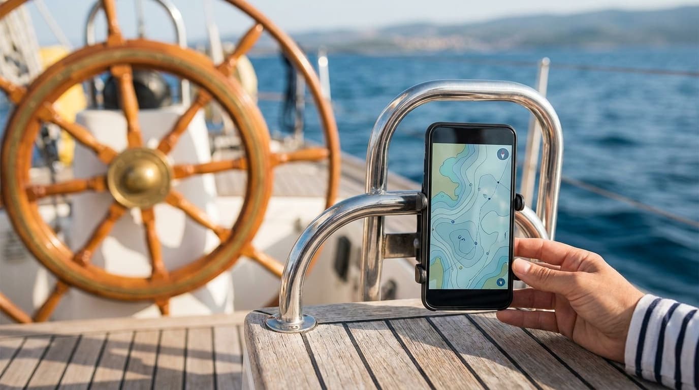
The problem isn't the device, it's the mounting and the glare. Solve those and you have a chart-plotter that's better than most factory units, plus the option of using it for everything else a phone does.
Mount location
The two best positions on a sailing yacht cockpit:
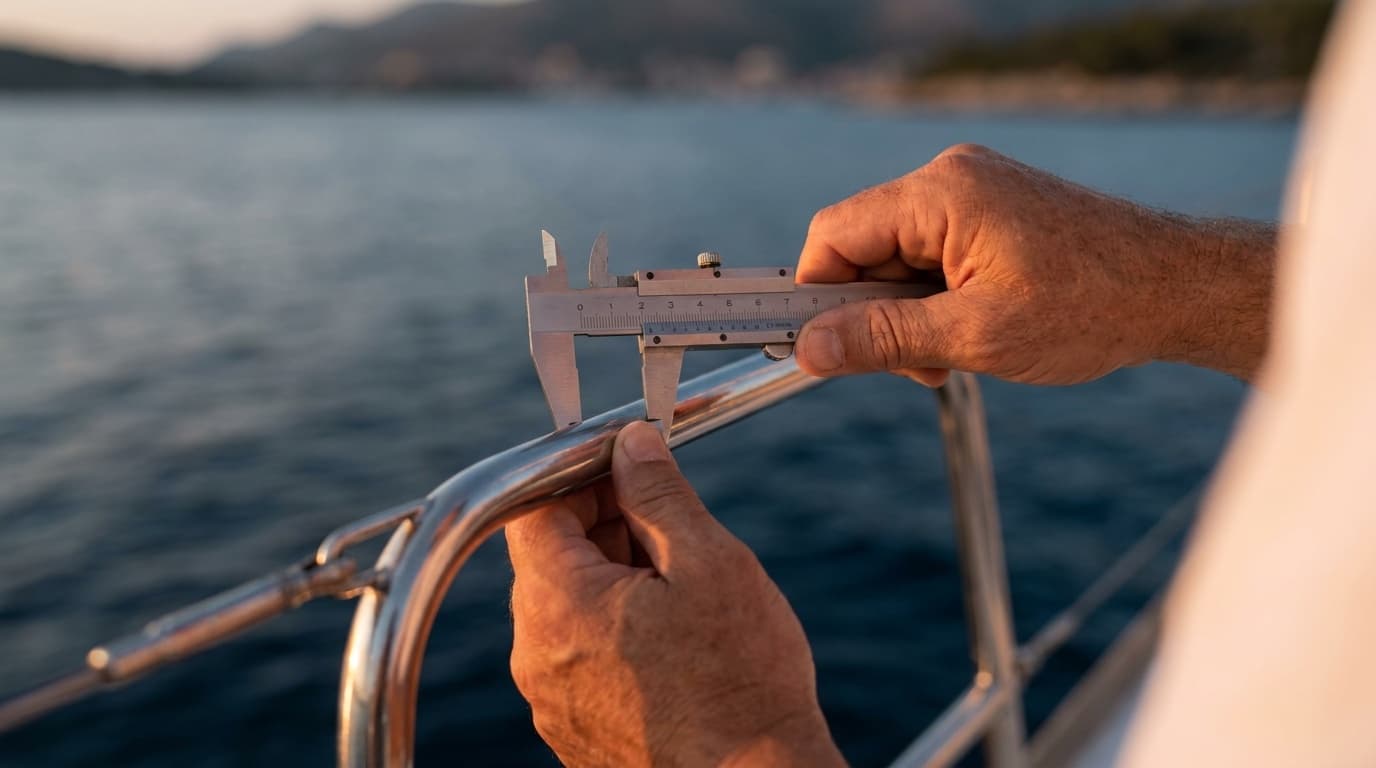
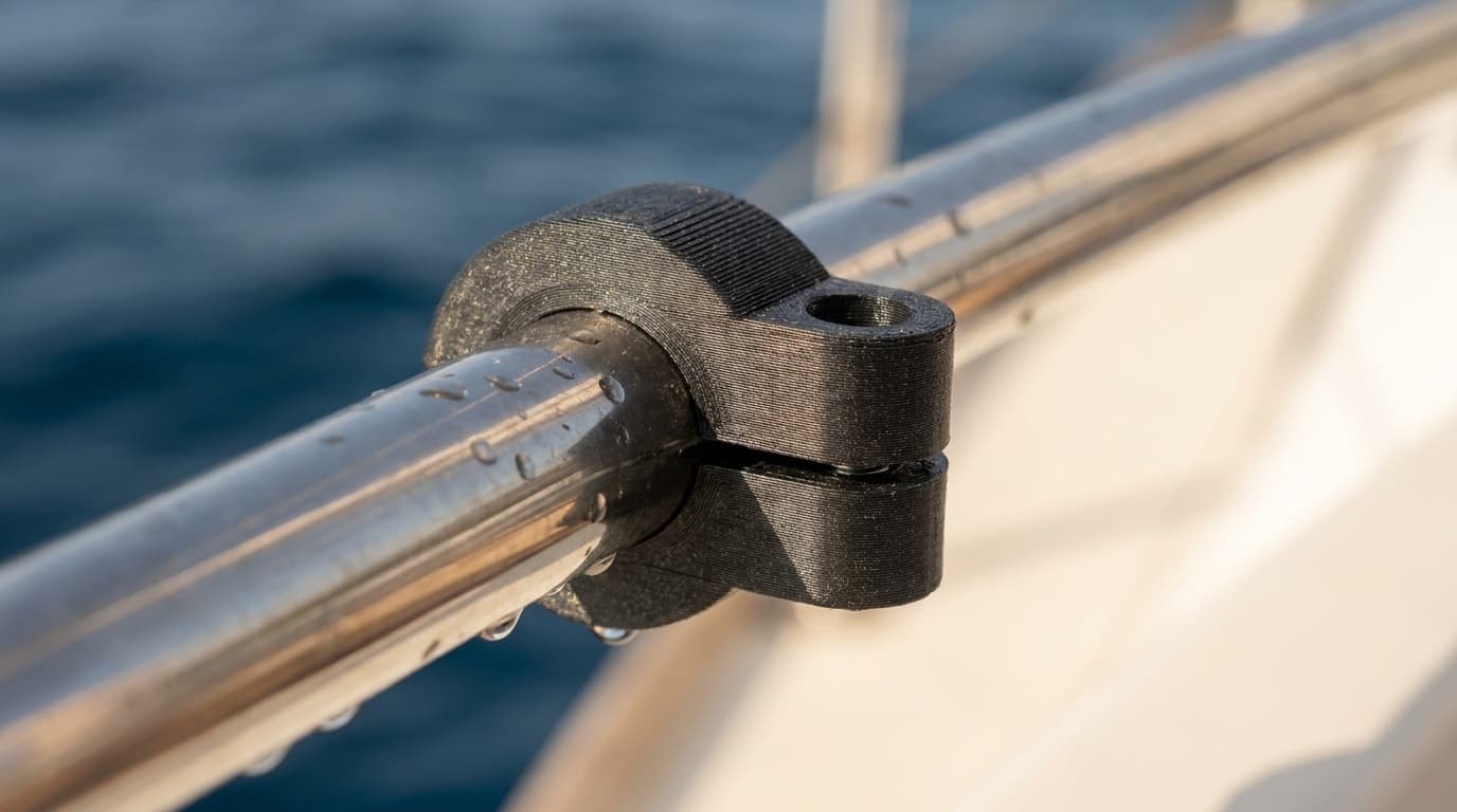
- On the inside of the cockpit coaming rail, just forward of the helm. Eye-line for the helm, away from spray, fits a 25 or 30 mm rail. This is the position our RailClamp Phone Holder hero shot is taken from.
- On the steering pedestal stay, just below the wheel. Closer to your hands for tap input, but exposed to more rain. Fine if your phone is IP68 and you're not on a multi-day passage.
Avoid the binnacle for one reason: heeling angle. On a 20° heel the phone hangs off vertical and the chart rotates in your peripheral vision. Coaming rail or pedestal stay both keep the phone closer to the helm's roll axis.
Glare
The single biggest mistake is mounting the phone where the sun reflects off the screen into your eyes at noon. Test it before drilling, er, before clamping: by holding the phone at the candidate position with the sun where it'll be at noon on a typical day-sail. If you can read your bearing from the helm seat, you've found the spot.
We sell our Phone Holder with a small matte sunshade hood that knocks two stops of reflected sun off the screen at modest cost. It clips on, comes off in 5 seconds for charging.
Apps that survive the marine environment
We have no commercial relationship with any of these, this is what works on our test boat.
- Navionics Boating, best raster + vector overlay, weather routing add-on. Subscription model is fair for the chart quality.
- iSailor: favourite of the local Slovenian sailing crowd. Offline-first, no subscription, good route planning.
- Aqua Map Marine, clean UI, NOAA charts free in the US, paid in EU. Best AIS overlay if you have a separate AIS receiver.
- PredictWind: not a chart plotter, but the best weather routing in the Adriatic. Pair it with one of the above.
Avoid any free GPS app that uses Google Maps base layer for marine work. Google Maps is great for finding a restaurant in Slovenia. It is not a marine chart.
Salt-spray + storage
After every sail, do three things:
- Rinse the phone briefly with fresh water. Salt that crystallizes around the speaker grille will eventually clog it. 5 seconds under a tap fixes it.
- Dry the connector with a clean cloth before charging. Pulling salt up the connector with a charge cable is the fastest way to break a lightning or USB-C port.
- Take the phone off the mount when leaving the boat. Sun-exposed iPhones get to internal temperatures that throttle the CPU and shorten the battery life.
A €15 silicone case with raised lip protects the screen from rope-burn during sail handling and is worth it.
The chart-plotter you keep in your pocket
The point of all this isn't to replace marine electronics, it's to recognize that for most sailing in coastal waters, the device you already carry is a better chart-plotter than what most boats came with from the factory. A €50 mount and €20/year subscription beats a €4000 GPSMAP for daysailing.
It just has to be mounted right.